Reading an Expressway Alignment: KML and 3A (2026)
How to open an alignment file, tell a centreline from a corridor polygon, match your khasra number to a gazette 3A schedule, and measure interchange distance without fooling yourself.
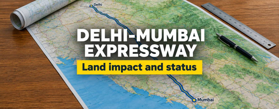
An alignment map is the cheapest way to screen land near a proposed expressway, and the most misread. A KML file is only a drawing: it shows where a consultant or agency expects the road to run, not which land the Government has notified. The legal record is the gazette notice under section 3A of the National Highways Act, 1956, which lists villages and survey numbers. This guide shows how to use the drawing and the notice together, and how to measure distance to an interchange properly.
What a KML file is and what it is not
KML (Keyhole Markup Language) is a plain file format that Google Earth and many map tools can open. A KML holds placemarks (points), lines and polygons, each stored as a list of longitude, latitude and optional height values. It carries no legal weight. Anyone can create or edit one, and a file that circulates on messaging apps may be a first draft, an option that was later dropped, or a buffer drawn by a broker.
Our own corridor review shows how uneven these files are. We checked 21 highway files in October 2026. Sixteen of them were corridor polygons or sets of patches, not true centrelines, and only a few carried chainage markers. We had not yet compared them against satellite images or the project report. We treat all of them as indicative. If you receive a file from an agent, ask who made it, on what date, and which alignment option it shows.
Centreline, corridor polygon, patches: what each tells you
| What you see | What it usually means | What you can safely conclude |
|---|---|---|
| A single line | A centreline of the proposed road | Rough position only. The land needed is much wider than the line. |
| A line with numbered points every 100 m or 1 km | A centreline with chainage markers (km posts) | You can measure along the road and talk about "km 143" in the same terms as a tender or gazette notice. |
| A long narrow polygon | A corridor or proposed right of way, sometimes a study corridor | The land may fall inside, but a study corridor is wider than the final road. |
| Many small polygons | Patches, often villages or plots to be acquired, or construction yards | Check each patch label; some files include muck dumping yards that are not part of the road. |
| Two or more versions of one road | Option I and Option II | Only one will be built. Ask which option the gazette follows. |
An alignment can also move between versions. We found that the Shamli-Gorakhpur district list changed between 2025 and 2026, and older maps were wrong for several districts. The date of a file matters as much as its shape. See our Shamli-Gorakhpur guide for an example.
How to open and read a KML
- Install Google Earth or open Google Earth on the web, and import the KML file.
- Turn on the layers inside the file one at a time. The folder names often say Phase, Package, Option or Final.
- Zoom to your village and switch to satellite view. Look at the nearest road, canal, river and village boundary.
- Click on a point or line to see its name and any notes. Chainage points are usually named by kilometre.
- Place a marker on your plot using GPS coordinates taken on site, or from a cadastral map. Our guide to matching a khasra to a plot on a map explains how.
- Take a dated screenshot. Alignments change, and you may need to show what you saw and when.
Do not trust a village outline drawn by a third party. A village boundary in a KML is often approximate. Use the revenue map from your state, for example Bhu Naksha UP or Bhu Naksha Haryana, for the plot shape.
The legal record: 3A, 3C, 3D and 3E
The alignment on a map becomes legally relevant only when the land is notified. For national highways the sequence in the National Highways Act, 1956, as we read it on a public copy of the Act, is:
- 3A: a gazette notice of intention to acquire land for a public purpose. The notice describes the land, and the competent authority publishes its substance in local newspapers.
- 3C: any interested person may object in writing within twenty-one days of the 3A notice. The competent authority decides, and its order is final.
- 3D: after objections are decided, the Government declares that the land is to be acquired. The land then vests in the Central Government free from all encumbrances. If no declaration is published within one year of the 3A notice, the notice ceases to have effect, with time under a court stay excluded.
- 3E: after vesting and the deposit of compensation, the competent authority can direct the owner to give up possession.
We opened a real 3A notice to see how it reads: Ministry of Road Transport and Highways S.O. 2034(E), 22 April 2026, for Package-05 of a proposed highway in Pilibhit district. It gives the chainage (km 266.15 to 269.5), the area (28.01 hectares), the village names and a table of 97 survey entries. A later notice for the same road can use a different chainage system, so compare village names and survey numbers rather than kilometre figures alone.
The public copy of the Act we read says on its page that it could not be verified against the gazette. Check the wording against the official text, or take advice from an advocate, before you rely on a time limit. For the broader compensation law see land acquisition compensation and how to check government acquisition notices.
Matching your khasra number to a 3A schedule
- Get the gazette notice for your district. The egazette (egazette.gov.in) hosts the Ministry notices, and the Ministry's Bhoomi Rashi portal has a Gazette Notification Report and a project search. We could not confirm that the portal filters by village, so you may have to open the notice.
- Find your tehsil and village. Notices usually list them in a table.
- Find your khasra (खसरा) number in the survey column. Watch for sub-divisions such as 12/1 or 12/2, and for changed numbers after consolidation or re-survey.
- If the notice lists the number with an area, compare the notified area with your record area. A part-area entry means only part of the plot is affected.
- If the village appears but your number does not, ask the tehsil whether a corrigendum or a later notice exists. Do not assume you are safe.
- If the notice is old, check whether it lapsed under the one-year rule in 3D. A lapsed notice can be re-issued, so a lapse is not a permanent all-clear.
Names change in transliteration. Read the Hindi names too, and compare the spelling in the record at your state's land records portal. If a village is not listed in any notice yet, you can only say that it is not yet notified, not that it will not be.
Measuring interchange distance honestly
Brokers quote "five minutes from the interchange". The only measure that matters for access is distance by road to a usable entry point. A straight line on a KML is the shortest possible distance and is usually shorter than the road distance. Use three steps.
- Find the interchange. Many access-controlled roads have few entry points, so a village next to the road may be many kilometres from an exit. In the Shamli-Gorakhpur research we found no published interchange list at all, so any distance there was unverified.
- Measure the straight line from your plot to the interchange point, using the ruler tool in Google Earth.
- Trace the actual road or track route, including any crossing over a canal or river. Add the distance on the access road. As an illustration, a plot 4 km from an interchange in a straight line might be 6 km or more by road if the only crossing is a bridge a few kilometres away. The figures are illustrative, not from a project.
An interchange plan can also change. A planned exit may be moved, merged or dropped when the final design is approved. Ask for the interchange location in a document that carries a date and an issuing authority.
Setbacks, right of way and green belts
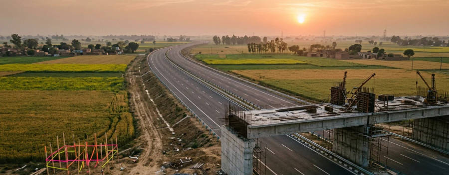
The corridor is wider than the carriageway. Rules differ by state and by road. For example, in Haryana the Punjab Scheduled Roads and Controlled Areas Restriction of Unregulated Development Act, 1963, section 3, bars buildings within a stated distance of a scheduled road's reservation, and the text we read gives 100 metres for a bypass or expressway. The scan we read was unclear in places, so check the official gazette. The notified Gurgaon-Manesar development plan, which we read, shows the same idea: the Kundli-Manesar-Palwal Expressway is shown as a 100 metre road with a 100 metre green belt on both sides. Read NHAI setback rules and green belts and no-development zones.
For a farm buyer this matters for two reasons. Land inside a green belt cannot be built on, and land inside the right of way may be acquired later even if it is not yet in a notice.
Layers to check on the same map
- Master plan zone: see how to read a master plan.
- Floodplain and rivers: check the revenue map and local drainage.
- Forest and Aravalli land: see the forest law page and Aravalli and green belt restrictions.
- Existing roads and canals: they can take the new road away from the line you see.
- Airports and defence land: see airport height rules.
What is unconfirmed
We could not confirm that NHAI publishes a KML for every project, or where. Our files came from project documents, not from a public download page we could open. We did not check them against satellite images. We read the National Highways Act on a public copy and the Haryana Act on a scanned copy. We opened one 3A notice, not every notice. Treat this page as a method, not a legal opinion, and verify the live position of any road in its own notices.
Frequently Asked Questions
What is a KML file?
Is an alignment KML official?
What is the difference between a centreline and a corridor polygon?
What is a section 3A notification?
What happens at 3D?
How do I check if my khasra is in a notification?
Does a lapsed 3A notice mean my land is safe?
How do I measure the distance to an interchange?
Can I rely on a broker's map?
Where do I find notices?
Sources
- Gazette of India, MoRTH S.O. 2034(E), 22 April 2026 (example 3A notice)
- The National Highways Act, 1956 (public copy, sections 3A to 3E)
- Bhoomi Rashi portal, Ministry of Road Transport and Highways
- Punjab Scheduled Roads and Controlled Areas Restriction of Unregulated Development Act, 1963 (Haryana text, PRS)
- Notification of the Final Development Plan 2031, Gurgaon-Manesar (third-party copy of the notification text)