Buying Land Near the Shamli-Gorakhpur Expressway (2026)
What is officially known about the proposed Shamli to Gorakhpur corridor, which agency is building it, what the gazette notices say, and how a land buyer should check a specific parcel.
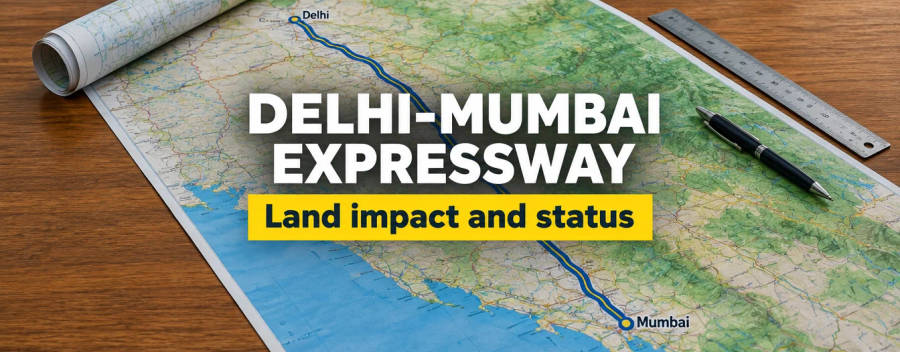
The Shamli-Gorakhpur Expressway is a proposed access-controlled highway across Uttar Pradesh, widely reported at about 742 km. The notices we could open are issued by the Ministry of Road Transport and Highways for the National Highways Authority of India (NHAI), not by the state expressway authority. As of October 2026 land acquisition has started in parts of the route, tenders are out and no construction contract has been confirmed. This guide separates what is in a gazette from what is only reported, and ends with a checklist for one parcel.
What the project is and who is building it
The gazette describes the project as a "newly proposed National Highway, High Speed Access Controlled Corridor from Shamli to Gorakhpur" and divides it into phases and packages. We opened one of the notices, S.O. 2034(E), issued by the Ministry of Road Transport and Highways on 22 April 2026 and published in the Gazette of India on 23 April 2026. It is a notice under sub-section (1) of section 3A of the National Highways Act, 1956, and it covers Package-05 of "Phase-I" between km 266.15 and km 269.5 in Pilibhit district.
Many news pages and broker pages still say the state expressway authority is building this road. Every official document in our research, including the gazette notice we opened, points to NHAI and the Ministry. We could not find any official document that gives the state expressway authority a role. If a seller or agent says otherwise, ask for the document.
The road is reported to start near Shamli at the Haryana border, where the Delhi-Dehradun and Ambala-Shamli corridors meet, and to end near Gorakhpur or Kushinagar in eastern Uttar Pradesh. Our Delhi-Dehradun expressway guide covers the western connection. Do not confuse it with the Ambala-Shamli corridor, the Gorakhpur Link Expressway or the Gorakhpur-Siliguri proposal, which are separate projects.
Length, cost, lanes and timeline: what is reported
Different pages quote different numbers, because the project grew and changed during 2025 and 2026. The table sets out what our research found and how much weight to give each figure. Apart from the gazette notice, these figures come from press reports and tender listings, so treat them as reported rather than confirmed.
| Item | What is reported | How firm it is |
|---|---|---|
| Length | About 742 km, split roughly into a 348 km western section and a 394 km eastern section. Tender chainage runs to km 745.594. | Several 2026 reports agree; no single official summary page found |
| Lanes | Opens as four lanes with structures built to six-lane standard (May 2026 report). Earlier 2025 reports said six lanes. | Use the 2026 version, still reported |
| Cost | Estimates between Rs 35,000 crore and Rs 40,000 crore. The ten tendered civil packages are listed at about Rs 34,471 crore. | Estimates only; we found no sanction document |
| Mode | Hybrid Annuity Mode, tender stage in September to November 2026 | Tender figures come from an aggregator site, not the NHAI portal |
| Completion target | Around 2030 for the full road; construction expected to start by end of 2026 | Target, not a commitment |
| Phase 1 | Shamli to the Powayan area of Shahjahanpur, about 348 km | The gazette uses "Phase-I" for packages whose chainage does not match this split |
Do not price a plot as if the road opens in 2027. A tender stage in late 2026 and a 2030 target mean several years of land acquisition, construction and testing. Our general guide on how infrastructure moves land prices explains why announcements, notices and openings move prices at different times.
Route and districts: confirmed versus reported
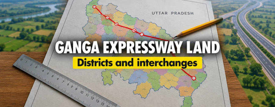
The district list has changed between 2025 and 2026, so older maps and agent decks can be wrong. The districts where we found an official notice or a joint-survey report are the safest to treat as on the route. The rest should be read as reported.
| District | What supports it | Status |
|---|---|---|
| Pilibhit | Gazette notice S.O. 2034(E), 3A(1), 97 survey entries, 28.01 hectares, villages Makrandpur Mafi, Khundara, Ajit Dandi and Purnapur | Opened by us |
| Bareilly (Nawabganj) | S.O. 2035(E) of 22 to 23 April 2026, about 20 villages, km 273.52 to 290 | Listed in our research notes; not re-opened |
| Bijnor (Dhampur) | S.O. 1383(E) of 16 March 2026, a section 3(a) order naming the competent authority, Muzahidpur village | Listed in our research notes; not re-opened |
| Shahjahanpur, Lakhimpur Kheri | Joint survey reported by Amar Ujala on 5 August 2026, 68 villages in Nawabganj and Baheri tehsils | Press report |
| Shamli, Muzaffarnagar, Saharanpur, Moradabad, Rampur, Sitapur, Bahraich, Shravasti, Balrampur, Sant Kabir Nagar, Gorakhpur, Kushinagar | Appear in May 2026 district lists | Reported only; no village-level notice found |
Two inconsistencies matter. First, gazette chainage does not line up neatly: Pilibhit appears at km 266 to 269 in one notice and at km 290 to 329 in another. Second, our own KML files include a "Phase 1 Package 4 Moradabad Spur" file, but we found no official document that shows a Moradabad spur. Moradabad appears officially only as a district on the main route. We do not publish a spur, and a buyer should not rely on one until NHAI shows it.
What a 3A notice does and does not do
Land for a national highway is acquired under the National Highways Act, 1956, not under the 2013 land acquisition Act in the same way as other projects. We read the sections on a public copy of the Act (Indian Kanoon, which itself warns that it could not be verified against the gazette), so check the wording against the gazette version before relying on it.
- Section 3A: the Central Government publishes a gazette notice that it intends to acquire land for a public purpose, with a brief description, and the competent authority publishes the substance in local newspapers.
- Section 3C: an interested person may object in writing within twenty-one days of the 3A notice. The competent authority hears the objector, personally or through a lawyer, and then allows or disallows the objection. The order is final. The notice we opened repeats this and names the City Magistrate or CALA, Pilibhit, as the authority.
- Section 3D: after objections are decided, the Central Government declares that the land is to be acquired, and the land then vests in the Central Government free from encumbrances. If no declaration is published within one year of the 3A notice, the notice ceases to have effect, with time under a court stay excluded.
- Section 3E: once land has vested and the compensation has been deposited, the competent authority can direct the owner to give up possession, and the public copy we read gives sixty days.
We found no 3D declaration for this project in the sources we read. A 3A notice is therefore an intention to acquire, not yet the vesting. Amar Ujala reported on 5 August 2026 that sales in the affected villages had already been stopped, and that the 3D step was still to come on the Bareilly to Lakhimpur stretch. We did not see the order that stops sales, so we cannot tell you its number or date. For the wider legal picture, read land acquisition compensation under the 2013 Act and how to check government acquisition notices.
Compensation: what we could not confirm
We found no published compensation rate for this corridor. We also found no official statement of the right of way width, the setback from the access-controlled road, or the position of interchanges. Anyone who quotes a "guaranteed multiple" or an "exit near your village" is giving you something unverified. Compensation for national highway land is set through the process after the 3D declaration, so a rate cannot exist before then. Read land acquisition compensation by state for how the state multiplier works in general, and remember that it may not apply the same way under the National Highways Act.
If you are an owner inside a notified village, the 21-day objection window in the 3A notice is the one step with a hard deadline. Take advice from a local advocate immediately, because the window runs from the gazette date and not from the date you hear about it.
How to check a specific parcel
Use this sequence before paying a token amount for land anywhere near the proposed route.
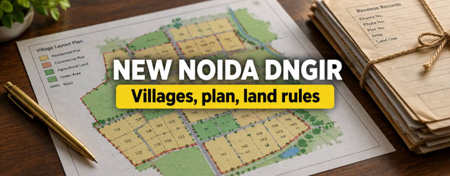
- Alignment. Take the village and the khasra (खसरा) number and compare them with the 3A schedule. Gazette notices list villages and survey numbers. Our guide to reading an expressway alignment shows how to match a number to a line on a map. Treat any KML as indicative: ours are not yet checked against the project report.
- 3A and 3D notice. Search the egazette for the Ministry of Road Transport and Highways notices for your district, and look at the Bhoomi Rashi portal of the Ministry. The portal lists a Gazette Notification Report, but we could not confirm a village filter, so you may need the notice itself. Ask the tehsil whether a 3D declaration exists.
- Interchange distance. No interchange list exists in the sources we found. Do not accept a distance to an exit until NHAI publishes the list.
- Master-plan zone. Check whether the village sits in a development authority area. Read land use zones explained and how to read a master plan.
- Floodplain and forest overlays. Much of the route crosses the Terai and the Ganga basin rivers. Check flood and forest status in the revenue record and with the forest office. See the forest land conservation law.
- Title and records. Match the seller to the khatauni and run the usual checks in the land due diligence checklist and UP Bhulekh land records.
Rules for buying farmland in Uttar Pradesh
The corridor does not change the basic rules for farmland. Our agricultural land rules for Uttar Pradesh page explains who may buy and how much. In our legal reference, the cap of 12.5 acres for transfers in Uttar Pradesh sits in section 89 of the UP Revenue Code, 2006. Land already vested in the Government cannot be sold by the old owner, and mutation of land in a notified village may be refused in practice. For land-use change near a highway, also read NHAI setback rules.
Do not treat a plot as "on the expressway" because an agent says it is within a few kilometres. A greenfield access-controlled road has few entry points, so frontage on the road gives no access. Land near an interchange can behave differently from land far from one, but the interchange list is not public yet.
What is unconfirmed
We could not confirm the following from a primary source. We did not re-open gazette notices S.O. 2035(E), S.O. 1383(E) and S.O. 835(E) in this review. We could not confirm the length, cost or lane count from an NHAI page. We could not confirm the tender chainage from the NHAI tender portal, because our figures come from an aggregator. We could not confirm whether any 3D declaration or sale-restriction order has been issued. We could not confirm the Moradabad spur, the interchanges or the compensation rate. This page is a draft until the team confirms these items.
Frequently Asked Questions
Who is building the Shamli-Gorakhpur Expressway?
How long is the Shamli-Gorakhpur Expressway?
Which districts does it pass through?
What is a section 3A notice?
How long do I have to object?
Can I sell land that is in a 3A notice?
What is the compensation rate?
Is there a Moradabad spur?
Where will the interchanges be?
When will the expressway open?
Sources
- Gazette of India, MoRTH S.O. 2034(E), 22 April 2026 (Pilibhit, Package-05)
- The National Highways Act, 1956 (public copy, sections 3A, 3C, 3D, 3E)
- Bhoomi Rashi portal, Ministry of Road Transport and Highways
- NBM&CW: NHAI starts land acquisition (22 May 2026), press report
- Amar Ujala: joint survey completed (5 August 2026), press report