How to Match a Khasra Number to a Plot on the Map (2026)
A repeatable three-way check across the ownership record, the village map and the ground, with a worked example.
Most farmland disputes start with a genuine record for the wrong field. This guide shows how to match the khasra number to the plot on the map and then to the ground, so you know you are buying the field you were shown.
Why the khasra-to-plot match is the most important check
Most farmland disputes do not start with a forged document. They start with a genuine document for the wrong field. The seller has a valid record for khasra 45 and shows you the plot next to it. The deed names one number, the fence stands on another, and the map shows a third boundary. Matching the khasra (खसरा) number to a plot on the map, and then to the ground, closes that gap.
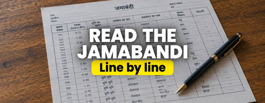
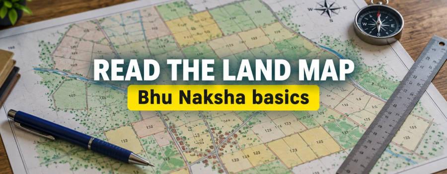
This guide gives a repeatable method. It assumes you have the ownership record for the plot (see how to read a jamabandi line by line) and access to the village map (see how to read a Bhu Naksha map). For the underlying idea of the numbers, read khasra and khatauni explained.
The three-way match
Do not match two things and assume the third. Match all three and write the result down.
| Source | What it gives you | Where to get it |
|---|---|---|
| Ownership record | Khasra number, area, owner, remarks | Jamabandi, fard or khatauni; see the state guides below |
| Village map | Location, shape, neighbours, access | Online map viewer where one exists, otherwise the patwari or tehsil record room |
| The ground | Corners, fences, paths, neighbours, actual use | A visit with the map and, ideally, the patwari or a surveyor |
If any two disagree, the plot is not yet clear. The reason may be harmless, such as a recent division that has not been redrawn, or serious, such as encroachment or a wrong field being offered.
Step-by-step method
- Write down the khasra number from the ownership record. Note any sub-number such as 45/1. Copy it exactly, including slashes and letters.
- Find the same number in the draft sale deed. The deed and the record should carry the same khasra and area. If not, stop and ask why.
- Locate the number on the map sheet. Check the village name and sheet first. Note the shape and neighbouring numbers.
- List the neighbours on each side by khasra number, then ask the seller who the adjoining owners are. Compare with the ownership records of those neighbours if you can.
- Check sub-divisions. If the parcel has sub-numbers, confirm which one or ones are being sold and what area each carries.
- Visit with the map. Locate a fixed feature first, such as a road junction, a canal crossing or a temple. Orient the map, then walk to the parcel.
- Identify the corners. Look for boundary markers. Ask the neighbours, separately, where they believe the line runs.
- Record the result. Photograph the corners and the neighbours' fields, and note the date.
Ask neighbours separately
Boundary stories change when two neighbours are in the same room. Ask each one alone where the boundary runs and note any difference.
A worked example with illustrative numbers
All names and numbers below are invented for illustration.
| Check | Ownership record | Draft deed | Map | Ground | Result |
|---|---|---|---|---|---|
| Khasra | 45/1 | 45/1 | 45/1 | Fence marks parcel on east | Match |
| Area | 6 kanal 2 marla | 6 kanal 2 marla | About 6 kanal by scale | Appears slightly smaller | Measure before paying |
| North neighbour | Not recorded | Not stated | Khasra 43 | Owner says canal is the neighbour | Mismatch, ask why |
| Access | Not recorded | Not stated | Path on east side | Path exists, tractor width unclear | Check right of way |
Two of four rows need follow-up. That is normal. The aim is not to find a perfect match but to know exactly which items are still open before any money moves.
Dealing with sub-numbers, splits and merges
A parcel that has been divided between family members or sold in parts often carries sub-numbers. A map drawn before the division may show the whole parcel as one, and the ownership record may show the sub-numbers. Records and maps can therefore be out of step for years. We could not confirm a uniform sub-numbering convention across states, so ask the patwari to explain what each number covers.
If the map shows 45 as one parcel and the record shows 45/1 and 45/2, ask for a sketch of the division and the mutation or partition order that created it. Mutation history is explained in our mutation guide. If you are buying only a part and no partition has been recorded, you may be buying an undivided share and not a defined plot. Discuss this with a lawyer before signing.
State guides for the records and maps
- Uttar Pradesh: Khasra Khatauni UP and Bhu Naksha UP
- Haryana: Jamabandi nakal Haryana and Bhu Naksha Haryana
- Punjab: Jamabandi Punjab and Bhu Naksha Punjab
- Rajasthan: Apna Khata overview
- Any state: check land records online in India
Area units differ by state. See kanal and marla, bigha and biswa in Himachal and nali, mutthi and bigha in Uttarakhand.
If the numbers do not match
- Pause the payment. Do not pay a token amount until the mismatch has a written explanation.
- Ask the patwari. Many mismatches are renumbering or division that the patwari can explain from the register.
- Request a formal measurement if the boundary is in doubt. We could not confirm fee or timeline in each state.
- Ask for a correction if the record is wrong. See how to correct errors in online land records.
- Take legal advice before signing. See how to verify land title.
Limits and what is unconfirmed
A phone map or GPS pin is not a legal boundary. We could not confirm whether any state accepts a GPS reading in place of a revenue measurement, and we do not recommend relying on one. We also could not confirm sub-numbering rules, the fee for a formal measurement, or the time it takes in each state. Private websites that sell maps or sketches are not the revenue department.